 Ultimate I-4 Expansion
Orlando, FL
Ultimate I-4 Expansion
Orlando, FL
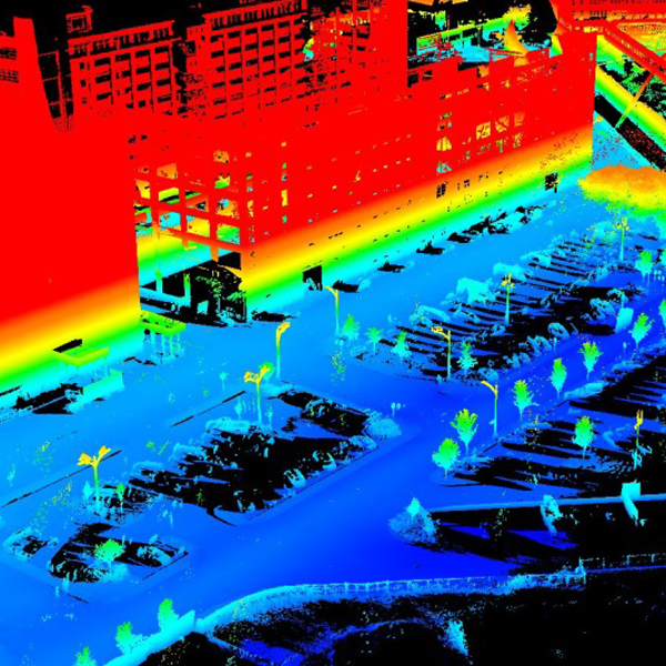
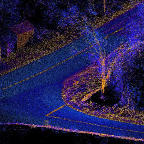
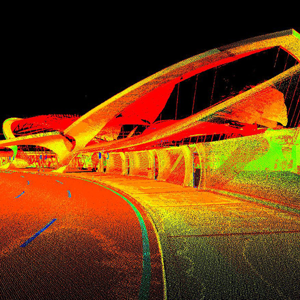
mobile mapping/uas LiDar Mapping
Langan’s mobile mapping solutions combine the usability and familiarity of videos and photographic images with the accuracy and precision of LiDAR point clouds to deliver a total asset management solution. Our system is fully transportable and can be shipped anywhere in the world to provide cost effective mobility while maintaining the accuracy and precision required by our clients. The system can be placed on a vehicle for roadway based collection, on a boat for shoreline or bridge projects, on a rail car for railway and transit applications, or even on an ATV for off-road uses in the utility, oil and gas, and electrical energy industries.
As Unmanned Aerial Systems (UAS) technology advances and potential uses increase, the Langan survey department has taken the steps required to legally deploy our fleet of UAS systems to advance and support all services offered by Langan. While there are many uses for this technology, it is vital to provide these services within a controlled and governed environment.
SERVICES PROVIDED INCLUDE:
- Campus mapping
- Utility mapping
- Landfill mapping
- Mine mapping
- Stockpile mapping
- Facility mapping
- Bridge mapping
- Tunnel mapping
- Rail mapping
- Topographic and planimetric surveys
- Asset and facility mapping
- Vegetation/ROW management
- ADA compliance
- Damage assessment and emergency response
- 3D and BIM modeling/visualization
- Feature extraction to CADD or GIS
- Virtual surveying, drafting, and remote sensing
- GIS/LIS data acquisition
- GIS database development
- 3D modeling and rendering
- Orthorectified aerial imagery
- Volume calculations
- Site videos/imagery for assessment/
monitoring/observation - Oblique aerial photography
- Digital surfaces
- 3D point clouds