Devil’s Hopyard State Park Mobile LiDAR Collection and Mapping
OVERVIEW
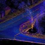
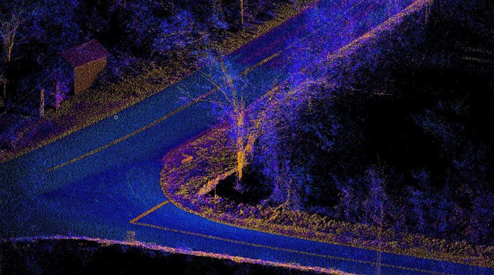
Langan provided mobile LiDAR data collection, feature extraction, and mapping services for Devil's Hopyard State Park. Langan deployed its Pegasus Mobile Mapping System within Devil's Hopyard State Park and collected integrated video logging and LiDAR data for the project area. Langan brought the LiDAR point clouds into Leica's Map Factory and Certainty 3D's TopoDOT products to create survey grade accurate LiDAR point clouds and a 5mm spaced DTM.