Brooklyn Navy Yard Mobile LiDAR Collection and Mapping
OVERVIEW
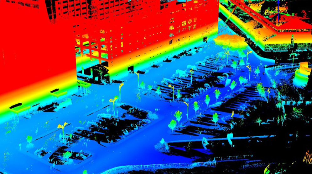
Langan provided mobile LiDAR data collection, feature extraction, and mapping services for the Brooklyn Navy Yards (BNY). We deployed our Pegasus Mobile Mapping System within BNY and collected integrated video logging and LiDAR data for the project area. We placed survey control points within the project limits to register the LiDAR and imagery data with. LiDAR and imagery data was survey grade accurate (+/- .02'). LiDAR point clouds were brought into Leica's Map Factory and Cyclone products to extract roadway and vertical features. The list of extracted features included signs, posts, signals, hydrants, valves, manholes, curb, sidewalk, pavement markings, centerlines, poles, overhead wires, building footprints, and storm grates. All features were attributed and exported to GIS databases as well as into AutoCAD files.


