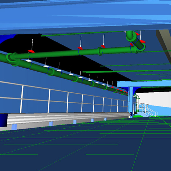
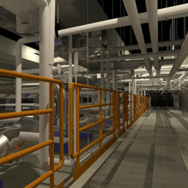
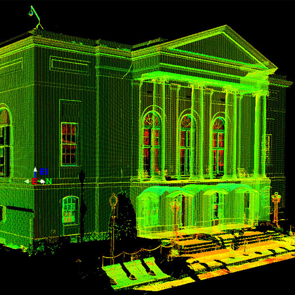
 Amtrak 30th Street Station Garage
Philadelphia, PA
Amtrak 30th Street Station Garage
Philadelphia, PA
Terrestrial scanning/bim
Laser scanning is changing the surveying/mapping industry and Langan has been leading the revolution since the addition of High Definition Laser Scanning services in 2003. In laser scanning, the data collected is known as a point cloud. The point cloud contains a 3D database of the entire scanned project area and allows the measurement of any surface information that is visible in the cloud. After processing, the data from the point cloud can be utilized to produce dimensionally correct 3D models and/or 2D dimensional plans, with outputs to Microstation, AutoCAD, Revit and a host of other platforms. The registered data can also be used in a variety of applications, including site visualizations, mass models, building information model (BIM) support, forensic studies, construction/fabrication dimensions validation, and movie set models.
Our ability to offer a combination of High Definition Laser Scanning and conventional surveying methods allows us to deliver a complete product. With prior technologies, the end user had to work “on the data.” High Definition Laser Scanning allows the end user the ability to work “in the data” and be on site virtually through the use of the point cloud. As with all of our surveying services, the scanning effort is overseen by Professional Land Surveyors, who bring experience and knowledge of traditional surveying methods to this cutting-edge technology.
SERVICES PROVIDED INCLUDE:
- High definition laser scanning
- Façade mapping and plumb surveys
- 3D modeling and rendering exhibits
- Scan to BIM (Revit)
- Tru-view / Scene virtual viewer
- Facility and asset management
- BOMA and lease support
- ADA compliance
- Subway and underground tunnel surveying
- Expert testimony
- Matterport imaging
- Digital twin
Selected Projects
Amtrak 30th Street Station Garage
Philadelphia, PA
 Bedford Square
Westport, CT
Bedford Square
Westport, CT
 MD Anderson CRB Animal Area Renovation
Houston, TX
MD Anderson CRB Animal Area Renovation
Houston, TX
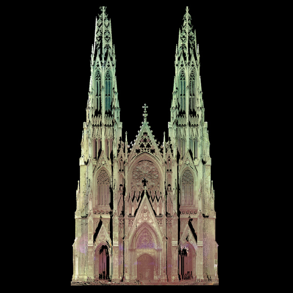
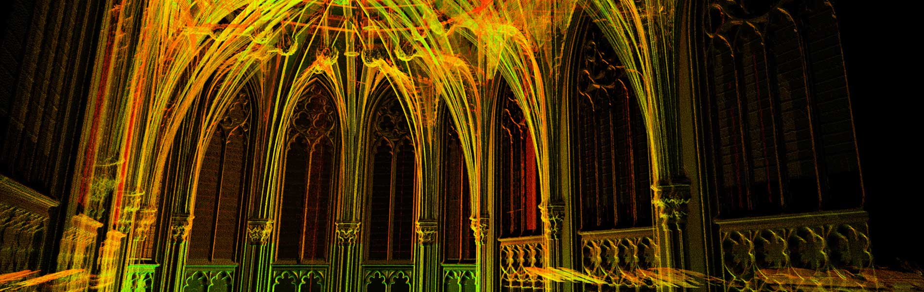
 US Court of Appeals of the Armed Forces
Washington, DC
US Court of Appeals of the Armed Forces
Washington, DC